FIELD NOTE / 2025
U R RAO SATELLITE CENTRE — ISRO
MULTI-ROBOT SYSTEMS
"Planning movement for one robot is a navigation problem. Add more robots and every path becomes a constraint on every other."
01 — EXPERIENCE
Three internships across the robotics stack
ISRO — U R Rao Satellite Centre (URSC)
Summer Intern — Mission Planning & Operations
Multi-robot planning · A* / Dijkstra / BFS · Python · Simulation
At Mission Planning & Operations, under Mr. M. Srikanth, I built a Python/Pygame simulator comparing path planners for factory-floor navigation — the report’s target was Industry 4.0 “dark factory” logistics. A 30×30 grid, three robots, static and moving obstacles.
The planner suite ran A*, Dijkstra, and BFS over 8-directional movement with an octile heuristic and turn-penalty costs; coordination used space-time reservation tables. Across CSV-logged runs, A* reached goals ~5× faster than Dijkstra (1.2 ms vs 6.0 ms) by exploring far fewer nodes — all three found near-identical short paths, so the win was search efficiency, not path length.
Everything shown from this internship is the simulator I wrote. No proprietary systems or data appear anywhere on this site.
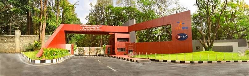
U R RAO SATELLITE CENTRE — MAIN GATE. NO PROPRIETARY SYSTEMS OR DATA SHOWN. 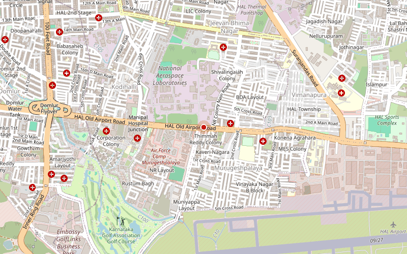
OLD AIRPORT ROAD · BENGALURU · © OpenStreetMap contributors · OPEN IN MAPS ↗ Hut Labs
Robotics Simulation Intern
ROS 2 · Gazebo · URDF · IEEE publication
A pick-and-place ramp robot in ROS 2 + Gazebo, built by seven interns across two teams: a differential-drive base climbs a ramp, grabs fruit at the top, and throws it back down. My part was the robotic manipulator — the arm and its control; teammates built the ramp and base and led the ROS 2 / Gazebo integration.
Hut Labs sits on the Amrita Amritapuri campus — the same campus as my degree — so the internship ran alongside coursework rather than away from it. Mentored by Dr. Rajesh Kannan Megalingam.
The work was published as an IEEE conference paper (ICRM 2025, IEEE Xplore & Scopus) — and it didn’t stop there. The platform evolved into the Coco Robot project: same lineage, ported to ROS 2 Jazzy + Gazebo Harmonic after Classic’s end-of-life.
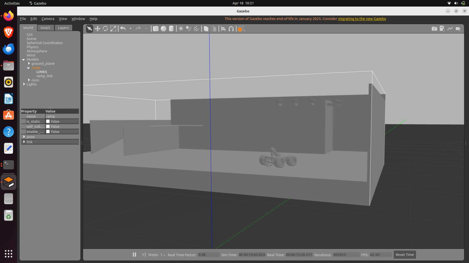
THE PICK-AND-PLACE RAMP PLATFORM — TEAM BUILD, LATER THE COCO / IEEE-PAPER LINEAGE 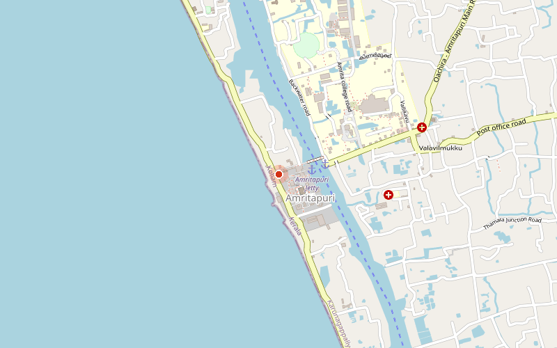
AMRITAPURI CAMPUS · VALLIKAVU · © OpenStreetMap contributors · OPEN IN MAPS ↗ Evolve Robotics LLP
Embedded Systems Intern
Arduino · PIC16F877A · Sensor integration · MPLAB
Wrote firmware for Arduino and PIC16F877A microcontrollers, interfacing ultrasonic, IR, IMU, and Bluetooth sensors — and simulated and debugged the PIC16F877A in MPLAB before touching hardware.
This is where the embedded thread of the earlier Arduino builds turned professional: same instincts, real deadlines, other people’s hardware.
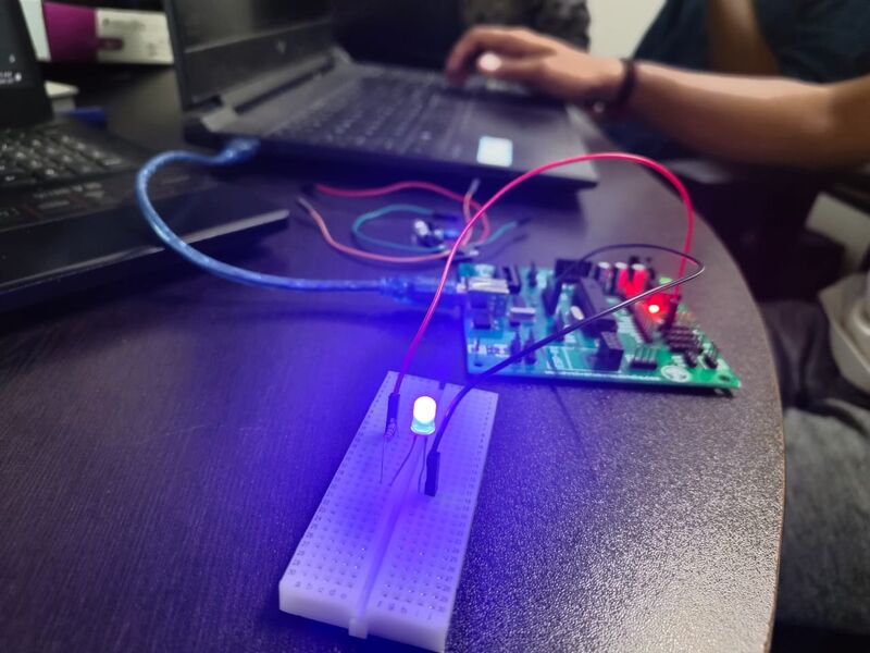
FIRMWARE BENCH — BOARD, BREADBOARD, FIRST LIGHT 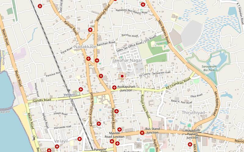
VELLAYIL · KOZHIKODE · © OpenStreetMap contributors · OPEN IN MAPS ↗